Websites / Systems
AI Analysis of Roads and Informal Housing
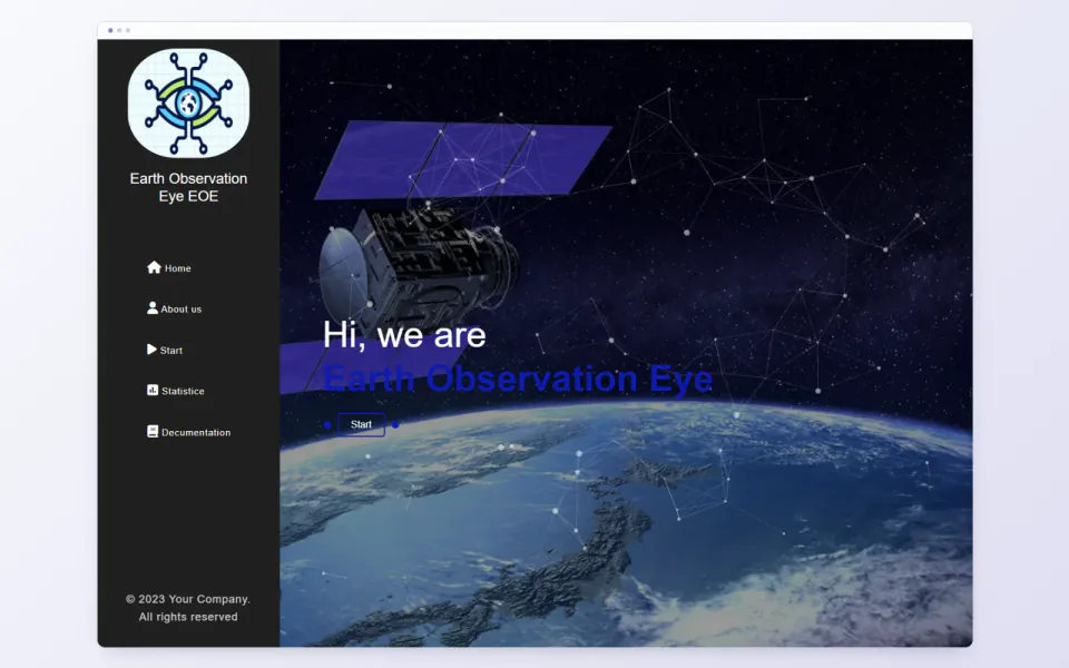 Project preview
About the project
An academic satellite-image analysis project with image processing, model outputs, a web interface and APIs.
- Project context
- Student academic project
- Status
- Completed
- Year
- 2023
- My role
- Implemented as a graduation project for a student in Saudi Arabia in 2023.
Technical journey
Users upload an image and select a model for preprocessing, inference and visual output. The code contains building-density, building-detection and road options, plus charts and maps; some chart data is demonstrative.
Academic context
One of my early projects, implemented for a student in Saudi Arabia in 2023 and awarded an Excellent academic grade. This does not establish model accuracy. Its use after the discussion is unknown to me.
Features
- Image upload, model selection and visual output
- Flask website and APIs
- Charts, maps and statistics
Project gallery
Select an image to see the full view
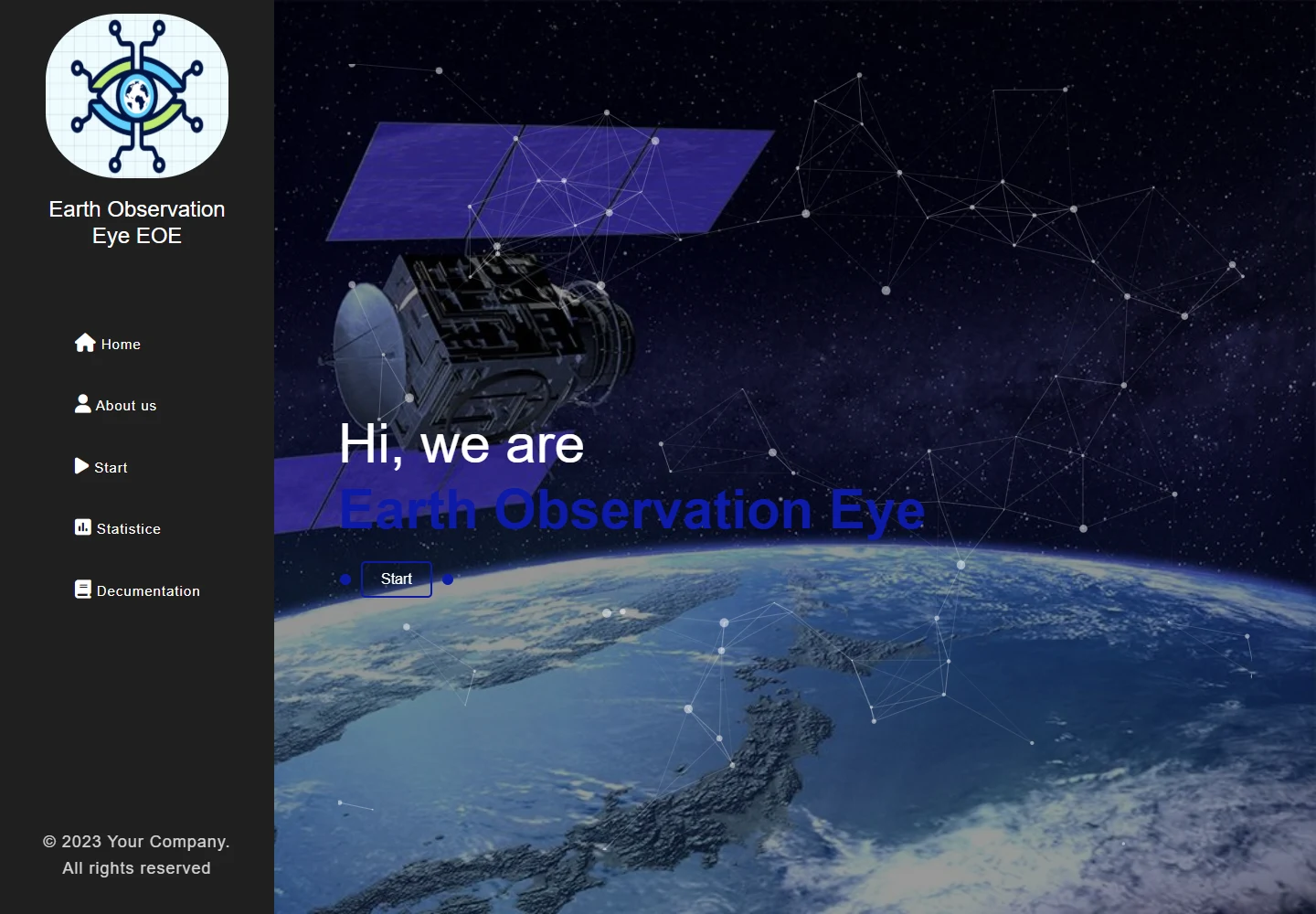 Project preview
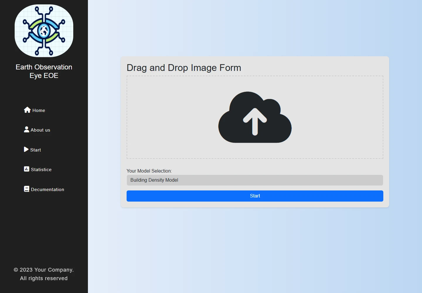 Project preview